
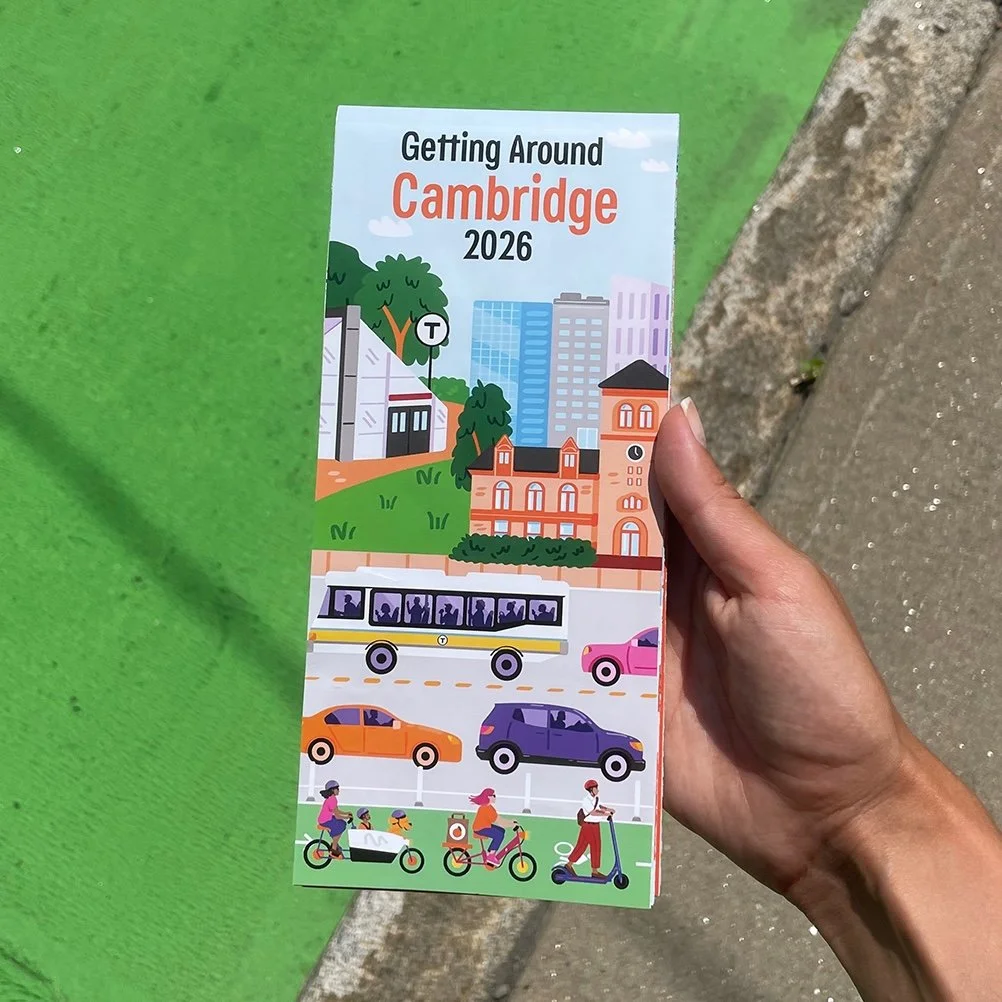
Map Illustration for the City of Cambridge
Project type: Vector illustration, map illustration
Project details: Map illustration made in collaboration with the Department of Transportation for the City of Cambridge, MA. This map provides visual guidance around the do’s and don’ts of traveling through Cambridge’s neighborhoods. The illustrations depict a wide variety of transportation types commonly used in Cambridge – cars, buses, walking, biking, scootering. I worked with the city to develop illustrations that show how to correctly use these modes of transportation in sidewalks, bike lanes, and streets, while capturing Cambridge’s through well-known landmarks and distinct population. The illustrations are printed on a fold-out map, measuring 18”Hx36”W.
Year: 2026
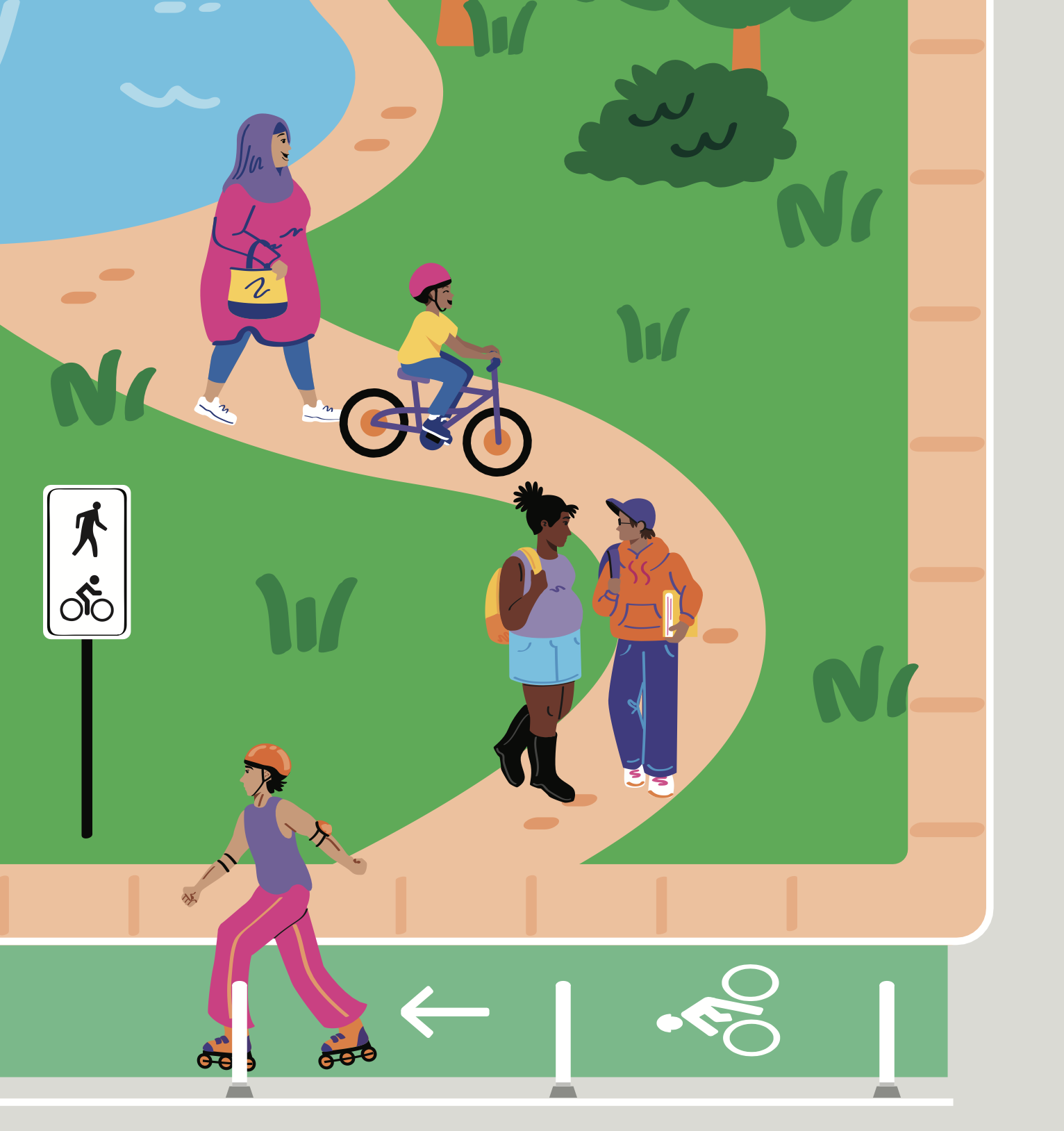
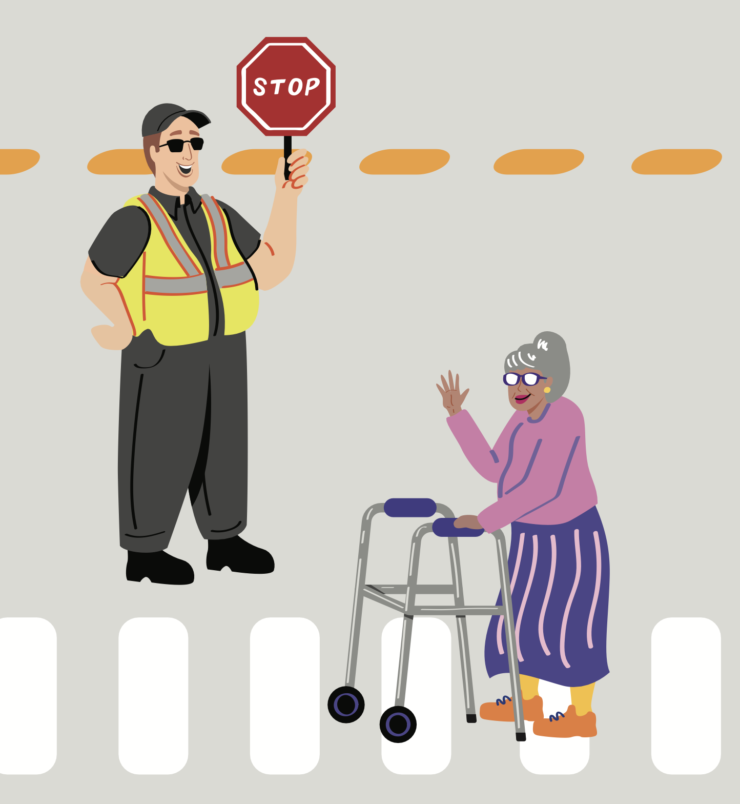
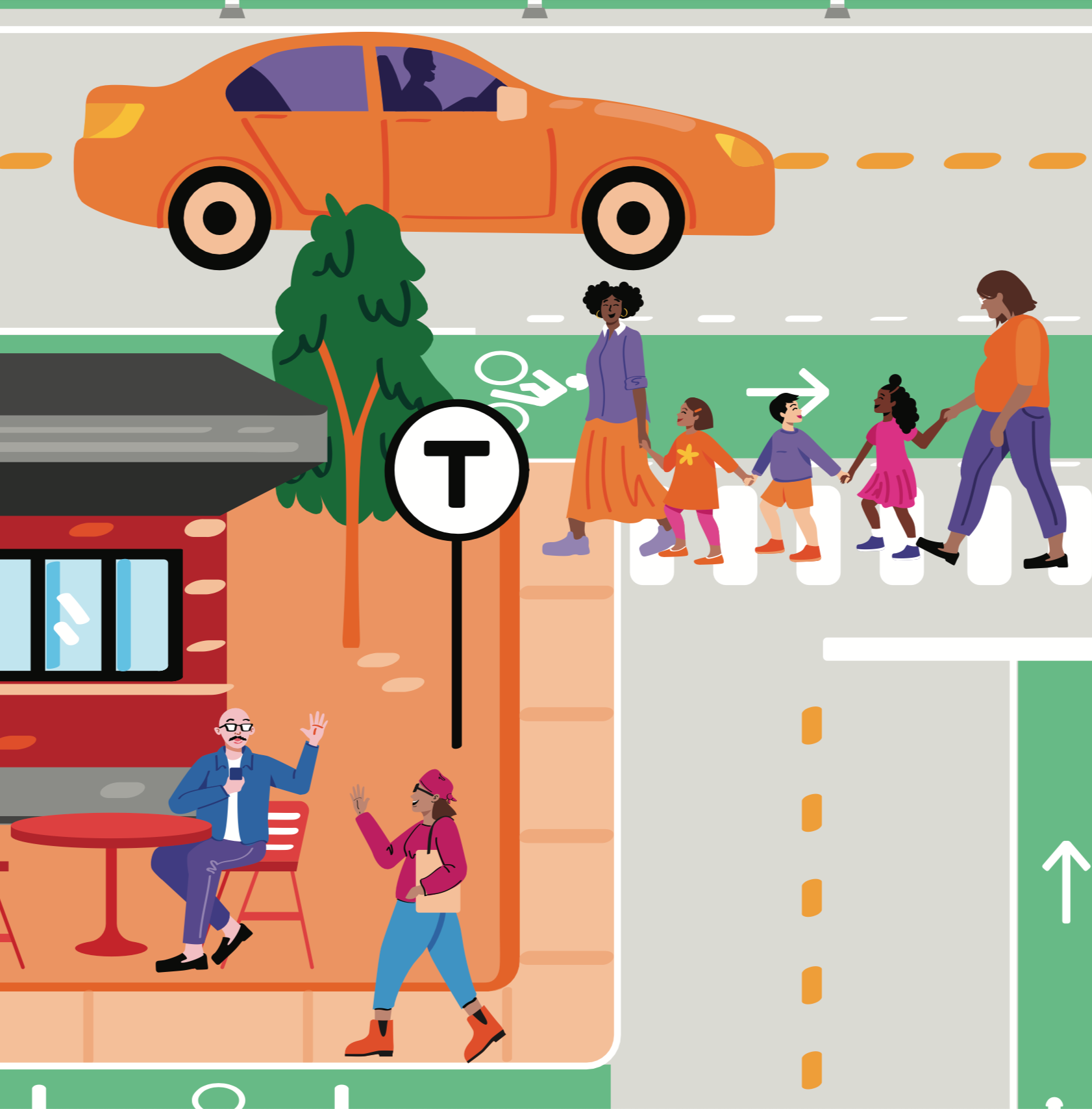
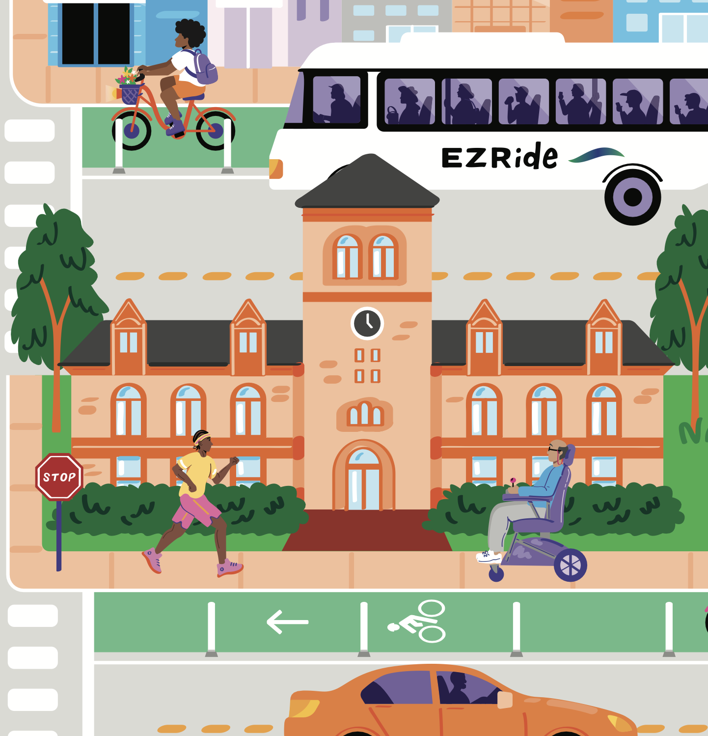
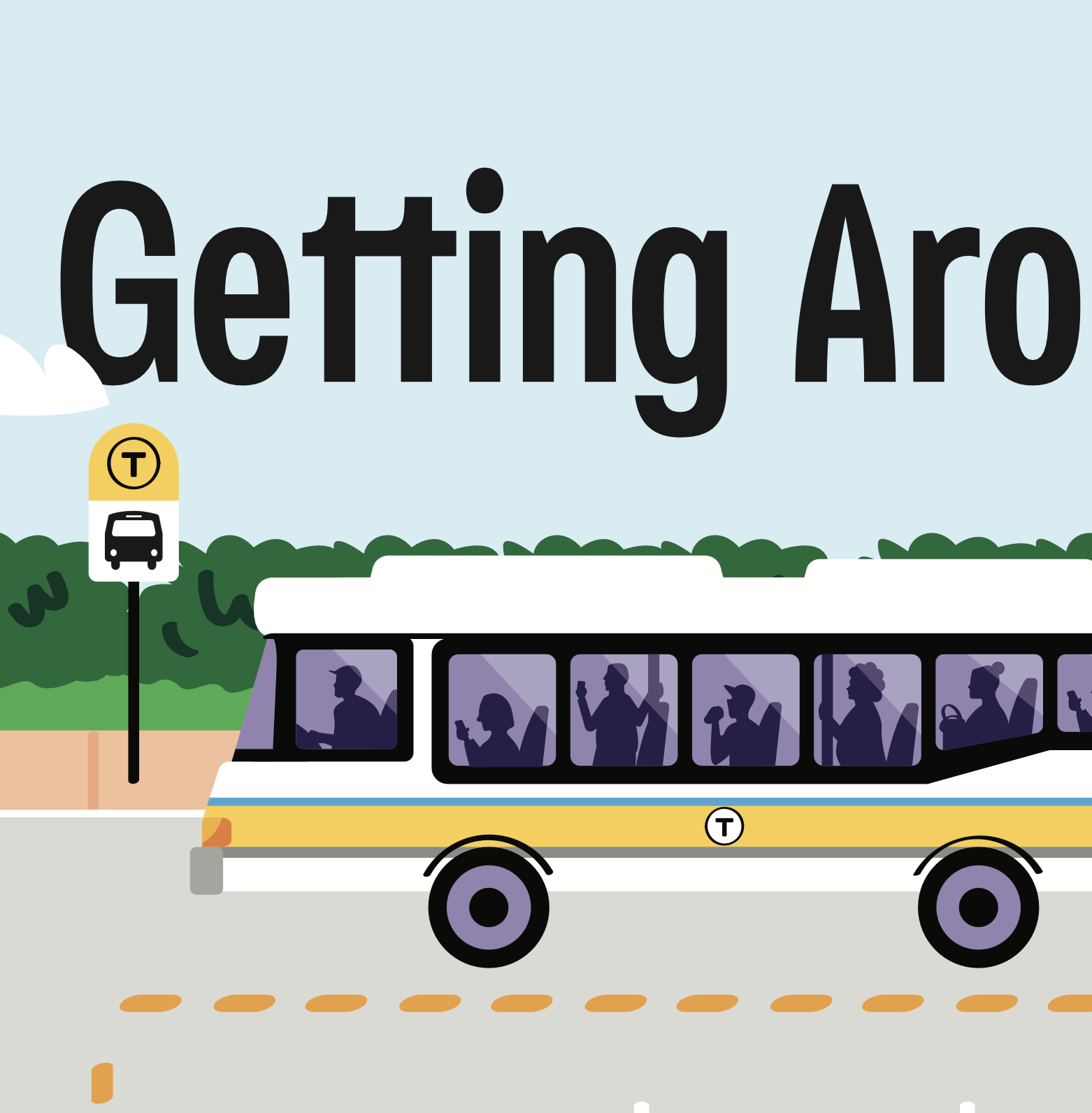
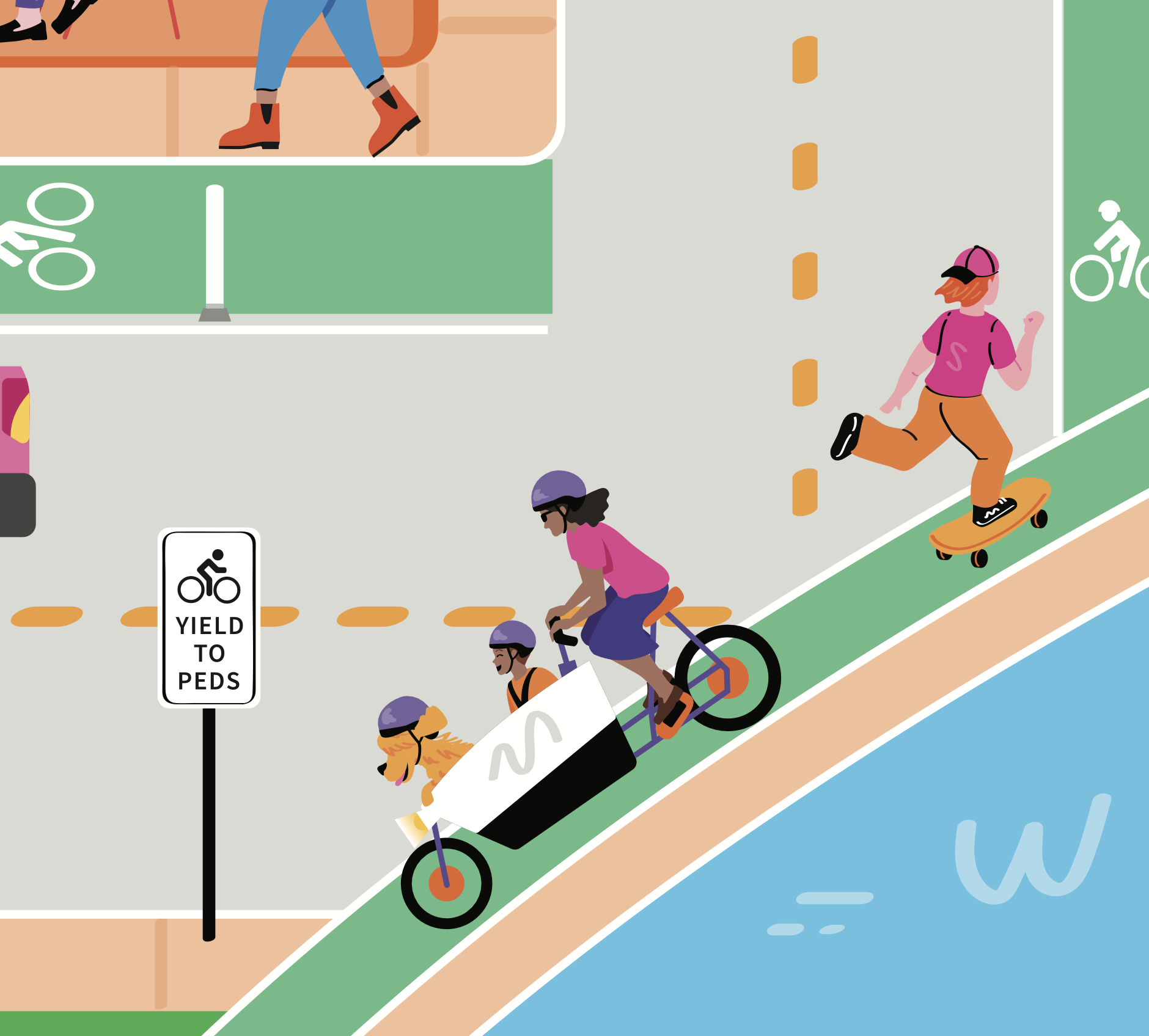
Detail shots (click to enlarge)